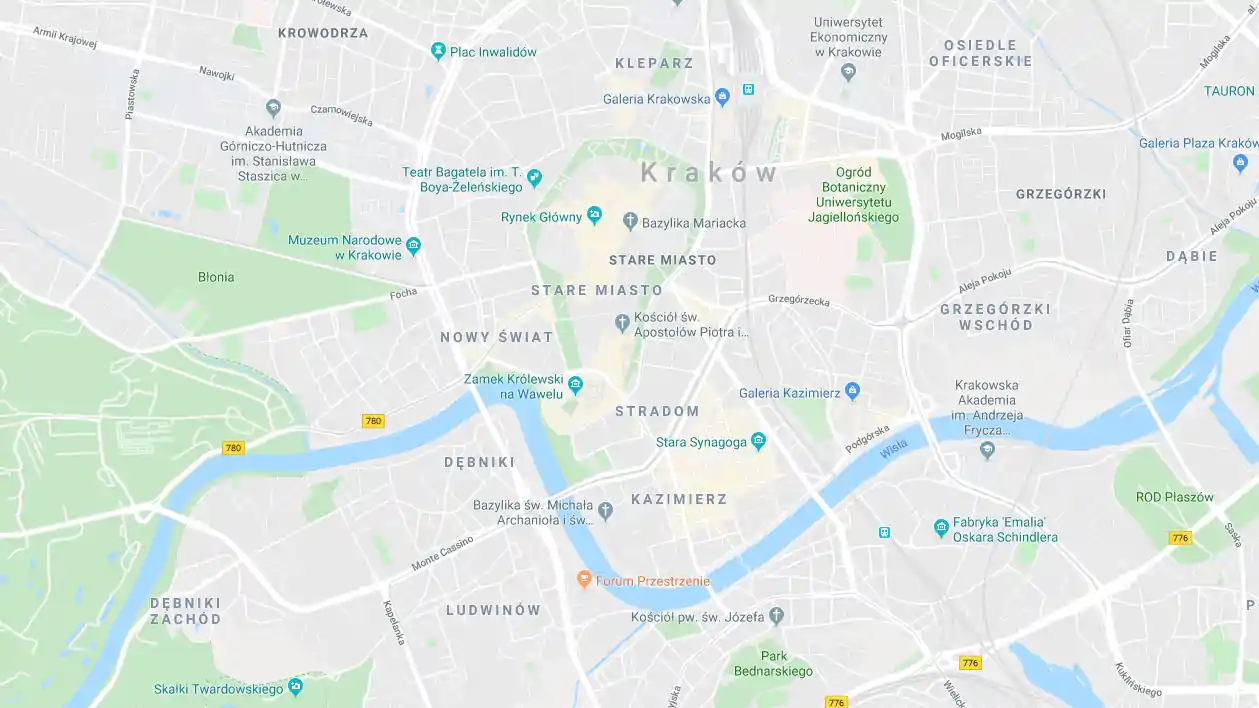
Krakowska Tarnów Street
The street starts on the edge of the Old Town and runs south-west to the city border. In 1917, the new name of the street – Aleja Niepodległości – was not adopted. During the occupation, the Germans named it Adolf Hitler Strasse.
For many years, it was a representative avenue where the social and economic life of the city was concentrated. Parades and shows took place here. In the 19th century, during the rapid development of the city on "Krakowska" street, important institutions were established. In the years 1911–1942, a tram line that was later closed down by the Germans ran along the street.
Many historic buildings have been preserved on the street to this day. It is worth paying attention to the residential tenement houses with wings from the second half of the 19th century, at the number 2 and 8, and the building of the "Bristol" hotel with a restaurant at number 9, erected in 1904–1906. In a brick and wooden manor house from the turn of the 18th and 19th centuries, at number 10, there is the Ethnographic Museum, and the Church of the Holy Family with a presbytery built in 1904-1906, rises on property number 41.
